Fort Collins Forecast: Heavy snowfall, negative weekend temps predicted
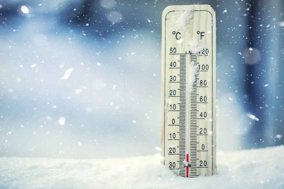
So…. I hope you enjoyed that mid 50 degree whether because the temperature is about to drop about 40 degrees, bringing snow and ice with it.
Temperature drops will get to -4 degrees by Sunday night. The total snow accumulations will fall between 4 to 8 inches. Ice accumulation also anticipated.
You, like many others might be asking WHY?! Just like I am.
Turns out that Pacific jet stream combined with the arctic cold front will bring the Front Range cold, snow, and ice tonight through Sunday morning.
We will be in winter weather advisory from 9 AM Saturday to 11 AM Sunday, according to the National Weather Service of Denver. Plan on slippery road conditions, limited visibility, and travel could be very difficult. Hazardous conditions expected during evening commutes.
National Weather Service Denver also stated:
“A Winter Weather Advisory for snow means periods of snow will cause primarily travel difficulties. Expect snow covered roads and limited visibilities, and use caution while driving.
The latest road conditions for the state you are calling from can be obtained by calling 5-1-1.”
And
“The cold wind chills as low as 20 below zero could cause frostbite on exposed skin in as little as 30 minutes.”
The beginning of next week looks to be sunny yet still cold.
So, bundle up and make sure you keep an emergency kit/blanket in your vehicle at all times!
More From K99